
Ever looked at a map filled with squiggly lines and wondered what it actually means for your hike?
Topographic maps are powerful tools for understanding the terrain around you. Whether you’re planning a hike, navigating unfamiliar landscapes, or studying geographic features, knowing how to read a topographic map is essential. This guide will walk you through the basics of map reading, using insights from expert resources to make it simple and actionable.

What is a Topographic Map?
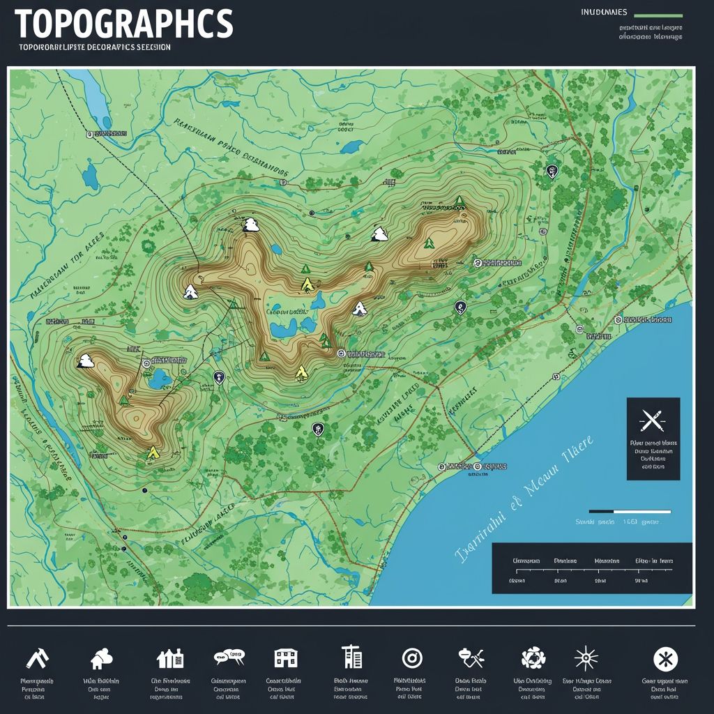
A topographic map is a detailed representation of the Earth’s surface, showing both natural and human-made features. Unlike regular maps, topographic maps include elevation data, represented by contour lines, which help you visualize the shape and height of the land.
Key Features of Topographic Maps
- Contour Lines: Represent elevation changes and terrain shape
- Symbols: Indicate landmarks like roads, trails, rivers, and buildings
- Colors: Differentiate features such as vegetation (green), water (blue), and elevation (brown)
For example, if you’re exploring a national park, a topographic map can show you where steep climbs or flat trails are located, helping you plan your route effectively.
📌 Quick Reference Table: Topographic Map Elements
| Map Element | What It Tells You |
| Green areas | Vegetation like forests, grasslands |
| Blue lines/shapes | Rivers, lakes, water features |
| Brown lines | Elevation and terrain shape |
| Close contours | Steep slopes |
| Wide contours | Flat or gentle slopes |
| Cross/Square | Churches, schools, man-made landmarks |
Understanding Contour Lines
Contour lines are the foundation of topographic maps. They connect points of equal elevation and provide insights into the terrain’s shape.
How to Interpret Contour Lines
- Close Lines: Indicate steep slopes or cliffs
- Wide Lines: Represent gentle slopes or flat areas
- Circular Patterns: Show hills (concentric circles with higher elevation in the center) or depressions (marked with hachures)
For example, if contour lines are tightly packed around a peak, you can expect a challenging climb. Conversely, widely spaced lines across a valley suggest easier terrain to navigate.
Decoding Symbols and Colors
Topographic maps use standardized symbols and color codes to represent features clearly. Understanding these elements is crucial for accurate interpretation.
Common Symbols and Colors
- Green: Forested areas or vegetation
- Blue: Water bodies like rivers, lakes, or streams
- Brown: Contour lines representing elevation changes
- Black/Pink/Gray: Human-made structures such as roads, buildings, or urban areas
- Crosses/Small Squares: Churches or schools as landmarks
Always refer to the map legend for specific details about symbols—it’s your key to understanding what’s on the map.
Practical Steps to Read a Topographic Map
Learning how to read a topographic map involves breaking it down into manageable steps:
- Identify Landforms – Look at contour patterns to spot hills, valleys, ridges, or depressions
- Measure Elevation – Use contour intervals (the vertical distance between lines) to calculate height differences between points
- Determine Slope Steepness – Analyze contour spacing—closer lines mean steeper slopes; wider lines indicate gentler terrain
- Locate Landmarks – Use symbols and colors to identify trails, water sources, or urban areas for navigation purposes
For example, when hiking in Yosemite National Park, you can use contour spacing to identify steep climbs near Half Dome or flat trails around Yosemite Valley for easier exploration.
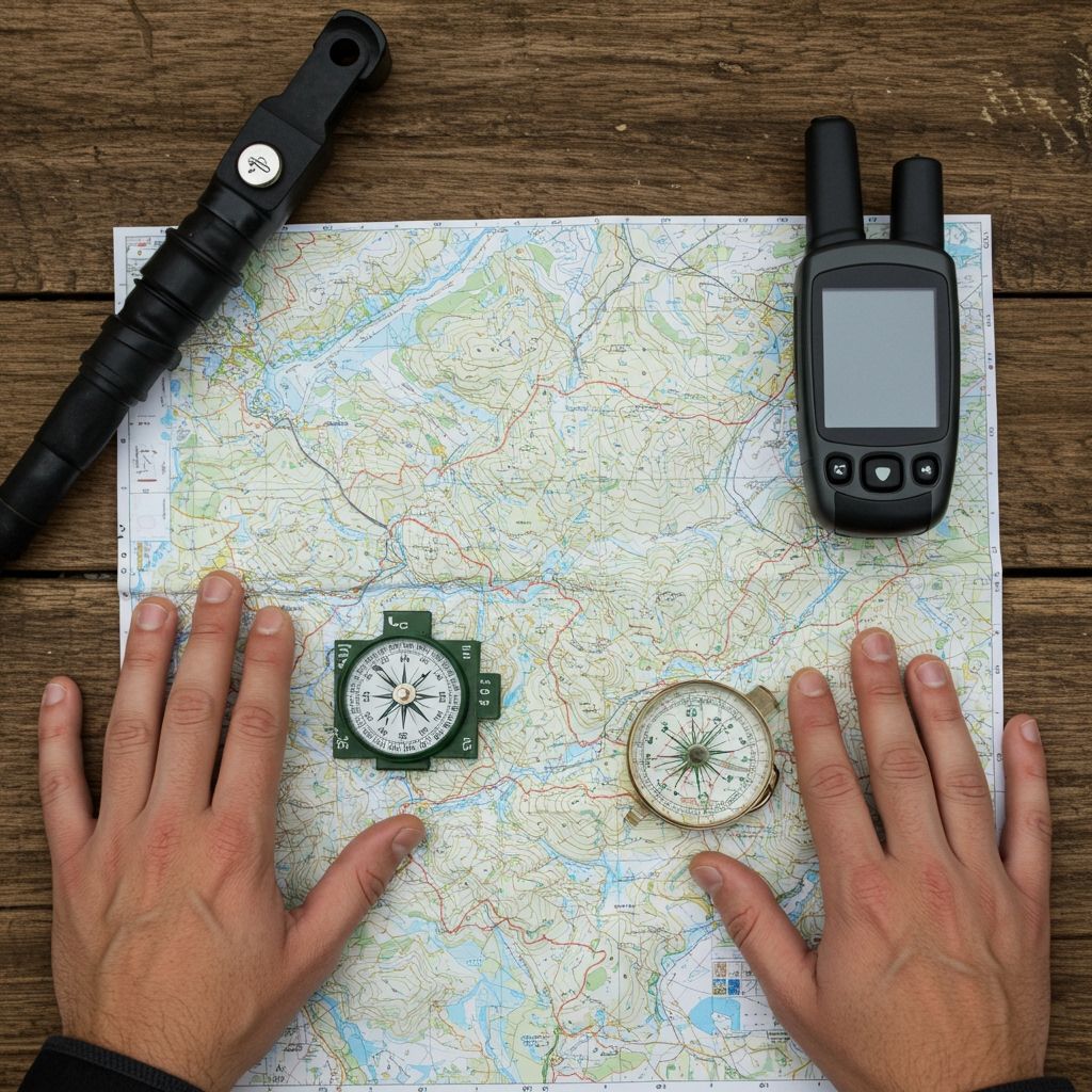
Using Topographic Maps for Navigation
Topographic maps are invaluable for outdoor navigation when paired with tools like a compass or GPS device. They help you plan routes effectively while avoiding hazardous terrain.
Applications in Navigation
- Route Planning – Identify trails that match your skill level by analyzing slope steepness and elevation changes
- Landmark Identification – Locate features like rivers or buildings as reference points during your journey
- Safety Checks – Assess elevation changes to avoid risky areas during bad weather conditions
For instance, pilots use these maps to plan flight paths over mountains by identifying safe altitudes based on elevation data.
Common Mistakes When Reading Topographic Maps
Even experienced users can make errors when interpreting topographic maps. Here are some common pitfalls to avoid:
- Misinterpreting contour spacing—steep slopes may appear less challenging if not carefully analyzed
- Overlooking map scale—this can lead to underestimating distances or elevation changes
- Ignoring symbols—missing key landmarks like water sources can disrupt your plans
Taking time to study the map before heading out can save you from unnecessary challenges during your trip.
Why Practice Matters
Reading a topographic map is a skill that improves with practice. Start with maps of familiar areas like local parks or trails before tackling more complex terrains in remote regions.
Tips for Practicing Map Reading
- Compare real-world landscapes with their representations on the map
- Test your ability to identify features like hills or valleys using contour patterns
- Plan short hikes using only the map as your guide
The more you practice, the better you’ll become at interpreting these maps quickly and accurately—an essential skill for any outdoor enthusiast.
✅ Topographic Map Reading Checklist
- ☑ Understand contour lines and spacing
- ☑ Recognize symbols and color meanings
- ☑ Check scale and calculate distances
- ☑ Practice with familiar maps before exploring unknown terrain
- ☑ Plan routes based on terrain difficulty